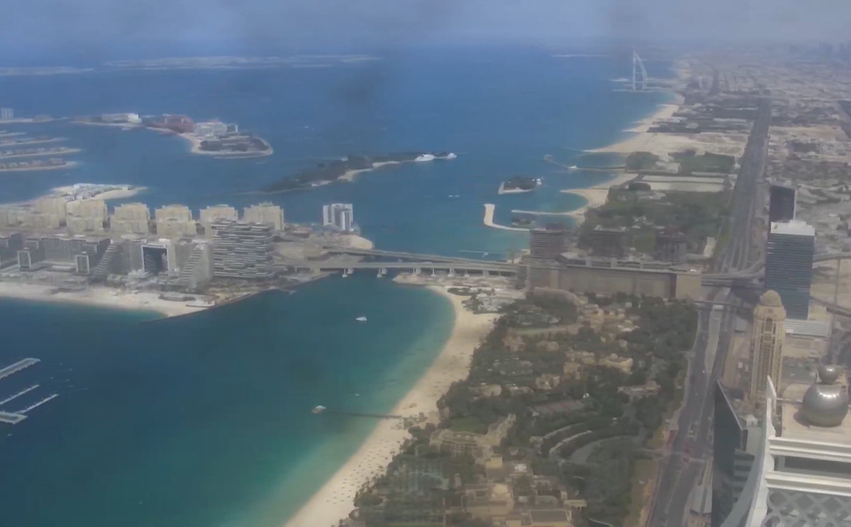
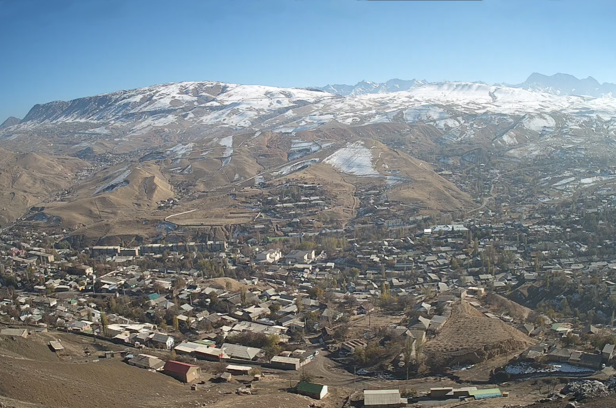
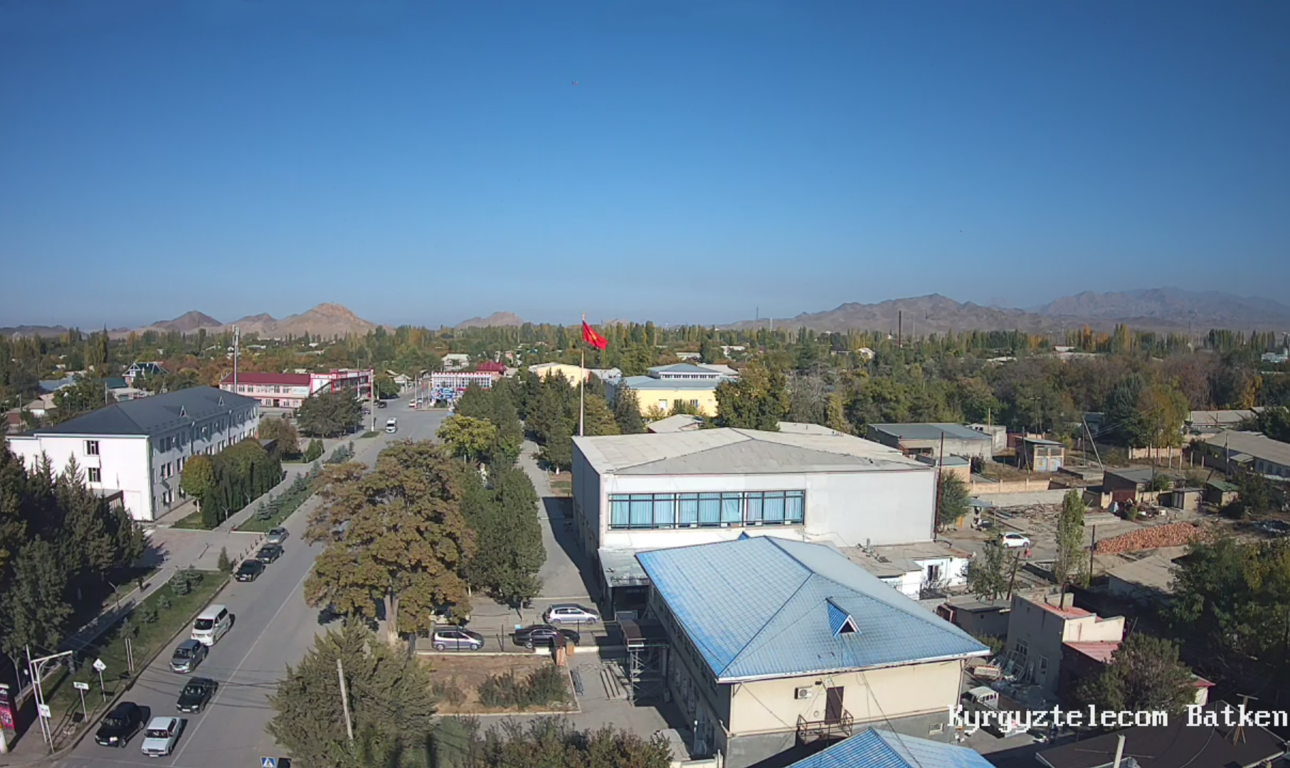
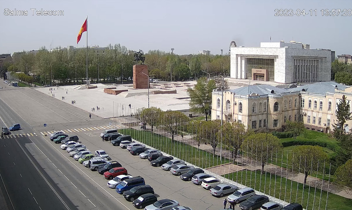
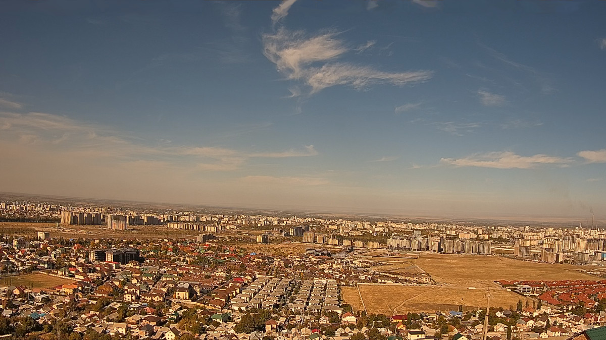
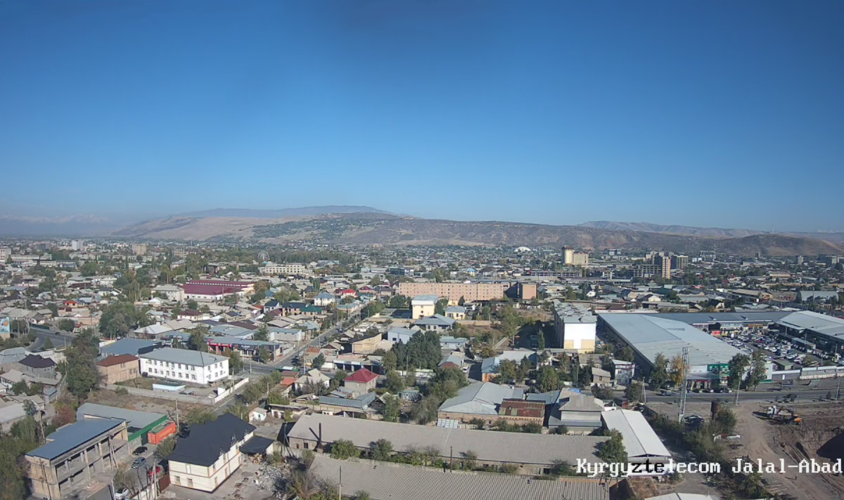
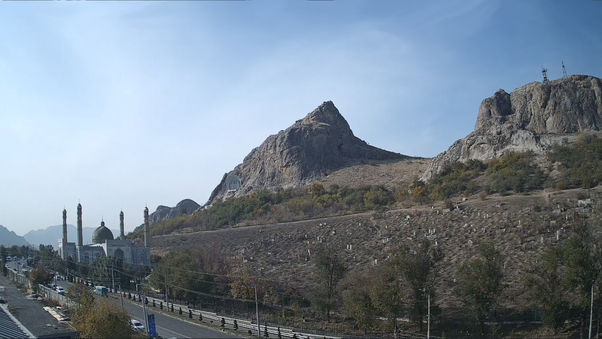
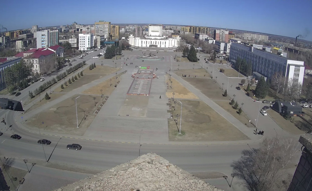
Sulukta Live Webcam, Kyrgyzstan
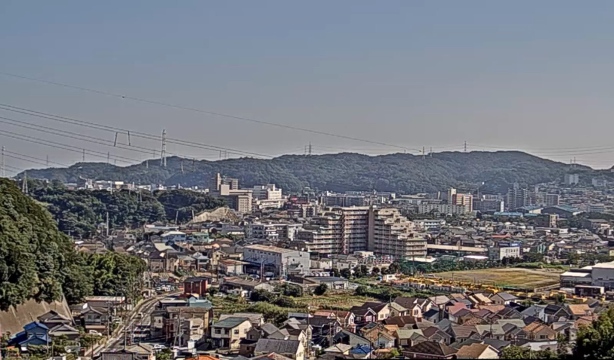
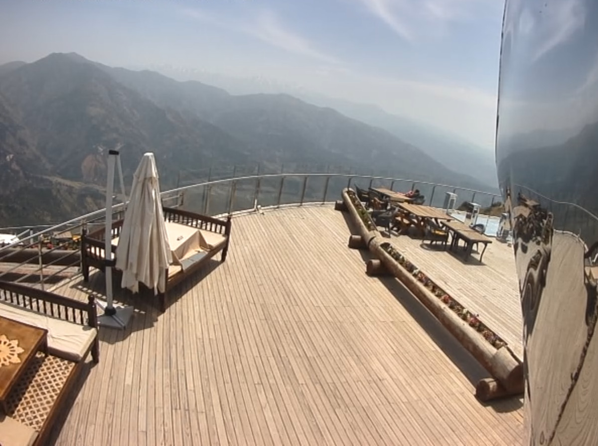
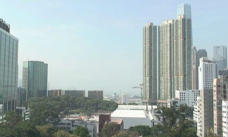
This live webcam shows a panoramic view of the city of Sulukta from above in Kyrgyzstan.
Sulukta (Kyrgyz: Сүлүктү) is a city of regional significance located in the southern part of the Batken Region of the Kyrgyz Republic, near the border with Tajikistan. The city is situated in a narrow mountain gorge along the Sulukta-Sai River, on the northern foothills of the Turkestan Range, at an elevation of approximately 1,380 meters (4,530 feet) above sea level. The population of Sulukta and its surrounding settlements, including the villages of Vostochny and Koltso, is about 24,238 people. The total area of the city is roughly 18 km² (7 sq mi).
Sulukta is considered one of the oldest coal mining centers in Central Asia, with industrial coal extraction beginning in 1868. In 1940, Sulukta was granted city status. During the Soviet era, the city was an important industrial hub, with numerous coal mines and factories. Following the collapse of the USSR, the city’s industrial activity significantly declined. The climate in Sulukta is classified as dry continental, with sharp temperature fluctuations. Winters are cold but short, while summers are hot and dry. Spring and autumn bring occasional precipitation.
Historically, the city’s economy has been based on coal mining. The surrounding area also contains deposits of quartz sand, limestone, clay, and gypsum. Agriculture plays a significant role in the local economy as well. After the Soviet Union dissolved, many enterprises closed, leading to economic challenges for the city. Sulukta is connected to the regional transportation network, with roads linking it to the Leilek District and other settlements in the Batken Region. The nearest airport is located in the city of Isfana.